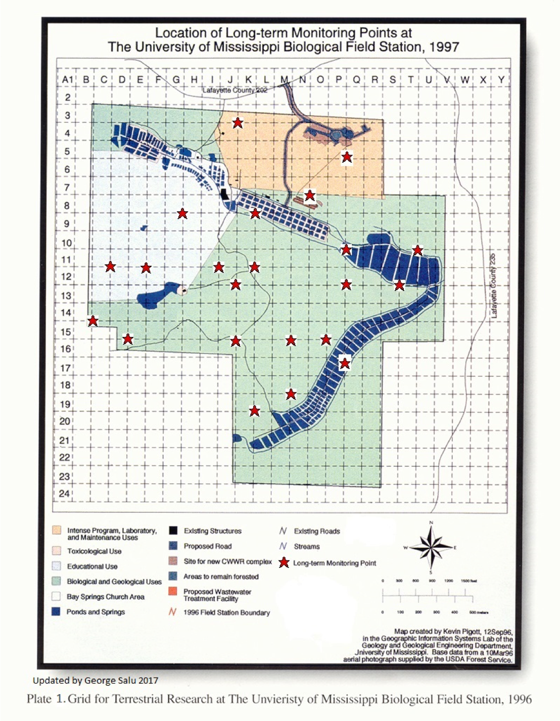
Long Term Monitoring Plots (LTMP)
Geographic Information System (GIS) maps, developed in the spring of 1996, are used to support ecological research at the University of Mississippi Field station. A vegetation monitoring plan based on 20 randomly chosen Long Term Monitoring Plots (LTMPs) is being used to assess ecological changes over time. The LTMPs are sampled on a biannual basis and resulting data my be found in the hyperlink here for Understory Data and here Overstory Data .